Officials see progress against fires
Published 12:30 pm Friday, September 18, 2020
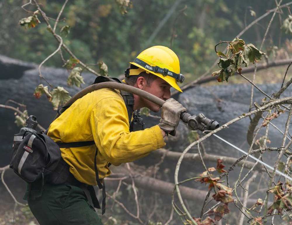
- A firefighter works to douse hot spots on the Holiday Farm fire on Thursday.
“Off the map.”
That’s the triumphant phrase Doug Grafe, the chief of fire protection for the Oregon Department of Forestry, used to refer to several fires he felt were so well contained, they could be downgraded in priority. Among those off the map include the Echo Mountain Complex, which had forced numerous evacuations on the edge of Lincoln City, the Powerline fire, which threatened parts of Washington County, and the Almeda fire, the catastrophic blaze that burned down much of Phoenix and Talent in southern Oregon last week.
At the same time, Grafe gave insight into the enormity of the work crews have accomplished, and what remains — including the completion of hundreds of miles of containment lines around several remaining enormous blazes, including the Holiday Farm fire in Lane County, and three huge blazes north of there that together have burned a half million acres — the Beachie Creek, Lionshead and Riverside fires.
While damage estimates continue to escalate, as experts head into fire zones to inspect buildings, Oregonians got encouraging news on the death toll Thursday when Major Gen. Michael Stencel said a 12-person mortuary unit for the fire was planning to stand down. The fires are responsible for eight confirmed deaths.
Gov. Kate Brown toured the Beachie Creek fire damage on Wednesday and said having seen the damage and devastation up close, she found them “all-encompassing and shocking.”
Brown said there is “a long road ahead.”
She said one encouraging development is that special unemployment payments for workers out of jobs due to the wildfires will begin flowing next week.
The Oregon Department of Environmental Quality on Friday extended an air quality advisory for northwest, central, eastern and parts of southern Oregon through Saturday.
The agency said smoke is starting to clear from the Interstate 5 corridor and that conditions in the Portland and Salem areas should keep improving throughout Friday.
Oregon saw heavy rains Thursday and Friday. Meteorologists expect isolated thunderstorms, wind and rain to continue to help and hinder fire crews through Saturday.
The National Weather Service initially predicted that a series of thunderstorms could bring a quarter to a half an inch of rain to douse fires burning on both sides of Oregon’s Cascades. Mother Nature delivered, and then some. The weather service reported that storm spotters were recording up to an inch of rain in just 20-30 minutes. The storms also brought lightning and ping pong-ball sized hail.
Grafe said that the moisture would hit an ideal area.
“If I could script it, that’s exactly where I would (put it),” Grafe said, calling it “good news for Oregon.”
Grafe did warn that the winds could increase and, if the moisture didn’t hit the burning area first, those winds could be problematic and test any fire containment lines firefighters have established.
“For the next 24 hours, we’re expecting some challenges with the weather,” Grafe said Thurday. “The storm front does bring favorable moisture, however, there are some downsides and it’s those winds and it depends on where the winds land.”
Stations around the area clocked winds at up to 60 miles per hour.
There’s a chance those rains could bring another set of consequences: violent, fast-moving landslides called post-fire debris flows that can outpace cars and annihilate anything in their path.
Already, the rain knocked out electricity in some parts of Oregon. According to Pacific Power, there were more than 170 power outages in the state affecting nearly 5,000 households. The bulk of those outages, about 3,500, were clustered east of Albany. Pacific Power is also reporting outages Friday morning on the Oregon Coast, near Lincoln City, as well as up and down the Interstate-5 corridor.
The National Weather Service put out an alert for flash flooding and potential debris flows for burned areas throughout the Cascades. But even though the debris flows that follow fires are well-studied, there’s never really been one documented in western Oregon.
The Oregon Department of Transportation, fire officials and researchers all agree on this: They really can’t say if a debris flow will happen, or if it does, how big it will be.
But they also say that these fires created the perfect conditions for such events. They burned very hot, in very steep terrain.
“It’s worse than I feared. It really is,” said Michael Zimmerman, senior engineering geologist for the Oregon Department of Transportation. He works in an ODOT-designated region that encompasses Portland, Mount Hood and the area burned by the Riverside fire.
It’s unclear if the heavy storms triggered any slides as of Friday morning, or if they will at all — most of the areas are evacuated, and news from incident command crews come in slowly. But Thursday evening, operations were suspended at the Holiday Farm fire, and all non-essential personnel, including most utility and road workers, were told to leave for 24 hours. Even if slides don’t come, officials said that storm damage was likely to slow firefighting progress, as high winds down burned trees in the area and rains dislodge debris from unsteady hillsides.
David Bishop with the National Weather Service in Portland said Friday morning that the agency had not received any reports of flash floods in burn scars around the region.


-
eEdition

-

-

