Oregon map maker focuses on coast facts and lost ships
Published 5:00 pm Thursday, March 12, 2009
BANDON – There are maps, and then there are maps.
Most include the standard collection of street grids and highways and rivers – maybe a few points of interest, such as schools and parks. The fancier ones have topographical information, showing mountain heights, canyon depths or the slope of a ridge line.
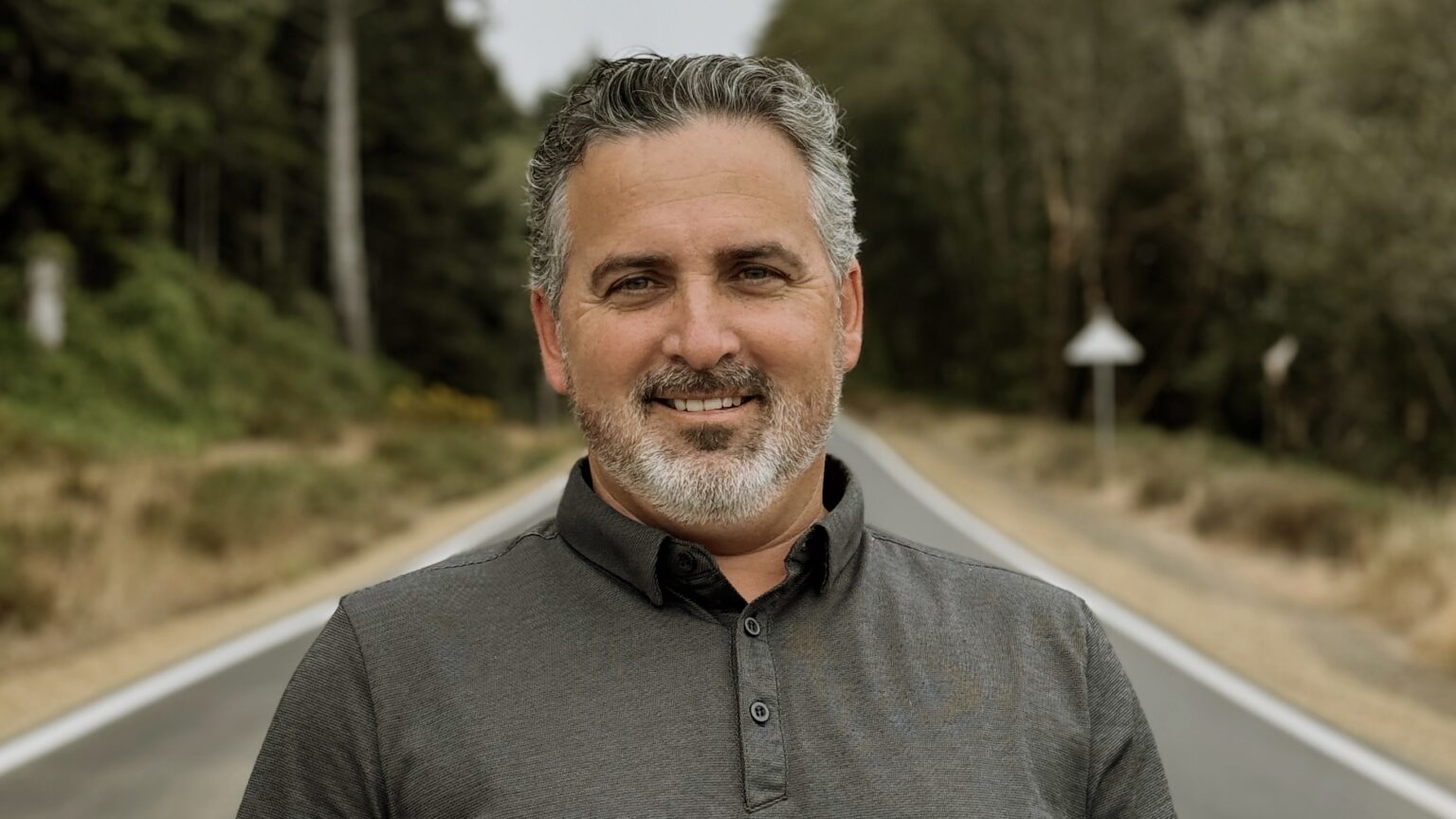
Then there are the kind of maps Ned Reed makes.
“Shipwreck Chart of Oregon – 3 of 5,” for example, starts with the standard snapshot of a stretch of Oregon Coast between Winchester Bay and Port Orford with the points of information you might expect to see in the area. But the coastline makes up only about a third of the laminated map’s real estate. It’s what else is on this chart that sets it apart.
Dotted along the coastline and up some of the rivers and bays are a series of numbers in small black type. They correspond to a list of shipwrecks on the right-hand side, in alphabetical order.
Want to know what happened to the Charles W. Wetmore, a 3,000-ton whaleback ship that beached on the North Spit on Sept. 9, 1892? She ran aground in fog en route to San Francisco with a load of coal. Vessel type: SS, or steamship. Vessel loss: T, for total. Lives lost: 0. Length: 265 feet.
The Santa Clara, the Omega III, the Mose, the Bukalation, the New Carissa? It’s all here, with footnotes for the source of the information, a key that shows what that type of ship looked like, even a gray superimposed image for some of them, drawn to scale.
Bored with reading up on shipwrecks? Check out the reach of each of the area lighthouses, shown in a precise semicircle with data from the U.S. Coast Guard. Ever wondered where state-owned waters begin and the feds take over? Ocean depths? It’s on the map.
And the mind-blowingest part: This is entirely the work of one guy.
It took Reed, a retired railroad engineer and graphic artist, the better part of a decade to compile enough historical data to put this chart together, and he has four others on the way, all of which he sells from his home in Bandon.
While some might call Reed obsessed, “patient” is a better word.
“I’m one that doesn’t want to get lost,” Reed said. “I like to have information at my fingertips.”
Born in Oakland, Calif., and one of five boys, Reed was an artist from an early age, pin striping cars before he was a teenager for friends and then at auto shows.
In college, Reed put his hobby aside and worked nights as a telegrapher for the Southern Pacific Railroad, communicating with dispatchers about the precise movements of trains in order to direct traffic. Eventually Reed quit and moved to the engineering department, where he put contracts together between the company and its clients. He also published map books for the railroad, sketching the length of crossings and other information.
A friend talked him into becoming a locomotive engineer, which put him at the helm of commuter trains running between San Jose and San Francisco until he retired in 1986.
Shortly thereafter, Reed moved to Coos Bay, where he landed his first gig as a cartographer, designing maps for the City of Coos Bay. It was an ideal marriage of his interest in graphic design and an engineer’s eye for detail.
In the 1990s, Reed moved on to shipwrecks, which had always held his interest.
“If he knows it,” beams Reed’s wife, Carol Acklin, “he thinks you ought to know it.”
He finds information about the wrecks themselves from a variety of sources, including some incomplete databases and Coast Guard books; then he enters each tiny piece of data by hand into a massive database he’s been compiling for a decade. When he’s finished, Reed will be able to search a list of 14,000 wrecks stretching from the Arctic to Panama.


