Step by step, ground work for Astoria Trails Master Plan gets a hike
Published 5:00 pm Tuesday, June 7, 2005
Open house gathers comments, suggestions for developing trails, recreation in the Astoria areaIt’s not just abundant rain and a large contingent of environmentalists that make Astoria green. It’s also the lush, tree-covered hillsides that comprise the city’s urban forest. Those 400 wooded acres, crisscrossed with trails known mainly to local residents, are now being studied and mapped as part of developing an Astoria Trails Master Plan.
Trending
Interest in the project is high.
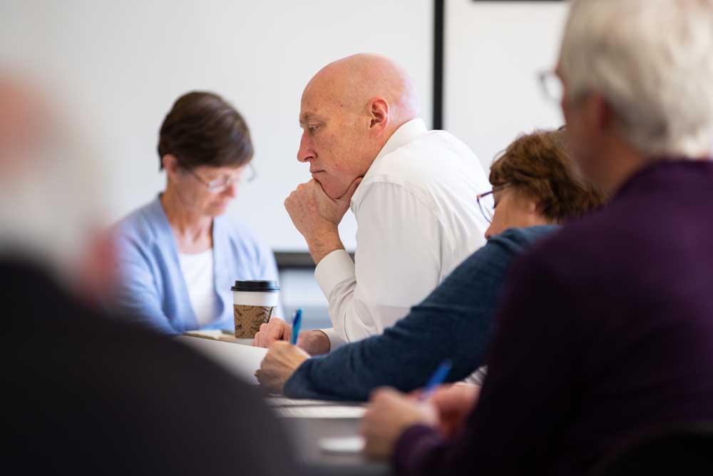
At a recent open house, convened to gather comments and suggestions on the plan, about 50 trail enthusiasts filled the Astoria library’s Flag Room to overflowing. People gathered around maps tacked to the walls and laid out on tables, locating their favorite trails on one map, and drawing in new ones on the erasable mylar surface of another map.
“Quite a few people drew trails they’d like to see or they already use,” said Christy McDonough, coastal planner for Columbia River Estuary Study Taskforce (CREST), a partner with the city in the master planning project. Other partners are the National Park Service’s Rivers, Trails and Conservation Assistance Program; the state Department of Land Conservation and Development; and students in Clatsop Community College’s Upward Bound program. The students have mapped over 17 miles of existing trails.
Trending
“I think it was neat for folks to see there’s a lot of land and it’s not all just city of Astoria,” said Astoria’s Parks and Community Services director Kevin Beck, referring to a boundary map on display that was developed using GPS tracking. He said it better defines which areas are owned by the city of Astoria and other landowners, which include the Oregon Department of Forestry, Clatsop County, Clatsop Community College and Astoria High School.
Variety of viewsBeck was pleased at the turnout at the open house. He said it represented a variety of trail-users, including people from several hiking groups, a birding trail group, mountain bikers, people wanting to know whether 4-tracks and motorcycles will be allowed, and people wondering about trails in their own neighborhoods and how they could be linked together for easier access.
McDonough said walking and hiking top the list of favorite trail activities, followed by nature appreciation and pet walking, based on more than 40 completed questionnaires on the trail master plan that have been returned. The questionnaires were distributed at the open house and will be available all summer on the CREST Web site, www.columbia estuary.org and at the Astoria Parks and Community Services office in Astoria City Hall, 1095 Duane St.
While most trail enthusiasts lean toward walking and running, some, like Robert Burk, would like to drive along the trails on all-terrain vehicles and motorcycles. Burk, who is involved in the Oregon Department of Forestry’s planning process for the Nicolai area east of Astoria, said there’s a large area on the map that he and other ATV enthusiasts at the open house would like to see incorporated in the city’s trail plan.
“We want to work with Astoria so people don’t have to drive out to Nicolai to ride, so they can go five minutes outside their house and be able to ride,” Burk said. He said he believes motorized traffic and foot traffic could be compatible. “It could be, and that’s why we’re here. We all have to work together. We all live in this area and we don’t want to see it shut down or limited just to people who are hikers,” Burk said.
At the other end of the continuum was Michael Zametkin, who said he loves trails, and travels to national parks, wilderness areas, Tillamook Head and other trails besides enjoying Astoria trails and the Riverwalk. “I don’t think motorized recreation is compatible with pedestrian or non-vehicular things,” Zametkin said.
Bill Barrons, a dedicated walker, was somewhere in the middle on motorized vehicles. He didn’t think many of them would be suitable, “but there is a place for them,” he said.
ConflictMotorized vs. non-motorized is an issue that will have to be addressed as the master plan goes forward, said Bryan Nielsen, district recreation manager for the Clatsop State Forest. That will happen, he said, when state forest land in the Astoria Basin is zoned, as part of ODF’s recreation management plan. Determining zoning for the Astoria Basin “is one of the biggest processes we’re going to go through in the next year … whether we zone it motorized or not motorized,” Nielsen said. He said the forestry department will fully support what Astoria is doing with its trails master plan.
The Astoria Basin, now unzoned, includes some land that abuts Astoria’s Shively Park and extends eastward from the top of Williamsport Road, as well as parcels in the Walluski area, a piece in the vicinity of Christians Road, a piece by the John Day River Bridge, and other scattered tracts in the northwest corner of Clatsop County. Nielsen said he can visualize a trail from Astoria to the Clatsop County Fairgrounds, using city, county and ODF land.
Barrons, who was Clatsop County’s first County Manager, said he was in on a trail master plan in 1992 that was never implemented. But he said he’s optimistic this time.
“I’m delighted this (trail planning) has risen nearly to the top of the pile … Now, something’s going to happen, I think,” Barrons said, adding that he’d like more loop trails, so trail-users wouldn’t have to go back the same way they came.
Dave Ambrose routinely uses city trails to get around, and is especially fond of trails that provide shortcuts, “so instead of having to walk six or seven blocks around, you walk one block down the hill and get to the same place.” He’d like to see more trail development and more signage for pedestrians, “so we can all spend a little more time outside our cars, getting around town.”
Ruth Jensen is president of the Angora Club, a hiking club founded in 1919. The club will take an active role in helping to develop the master plan, she said. Her own suggestion is to improve maintenance and add more signs. “We have lots of rain and the trails get muddy. They’re a little hard to negotiate once in awhile.”
AgreementCity staff is providing an in-kind match for a $20,000 matching grant from DLCD that is helping to fund the planning process, and a technical assistance grant to CREST from the National Park Service has provided a staff person to help Beck and McDonough with the project. At Monday’s Astoria City Council meeting, the city entered into an intergovernmental agreement with CREST for developing a trails master plan.
“We have a big process ahead of us,” said Beck, “and we’re just going to tackle it step by step.”


